Overview
Description
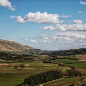
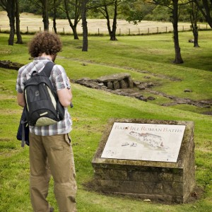
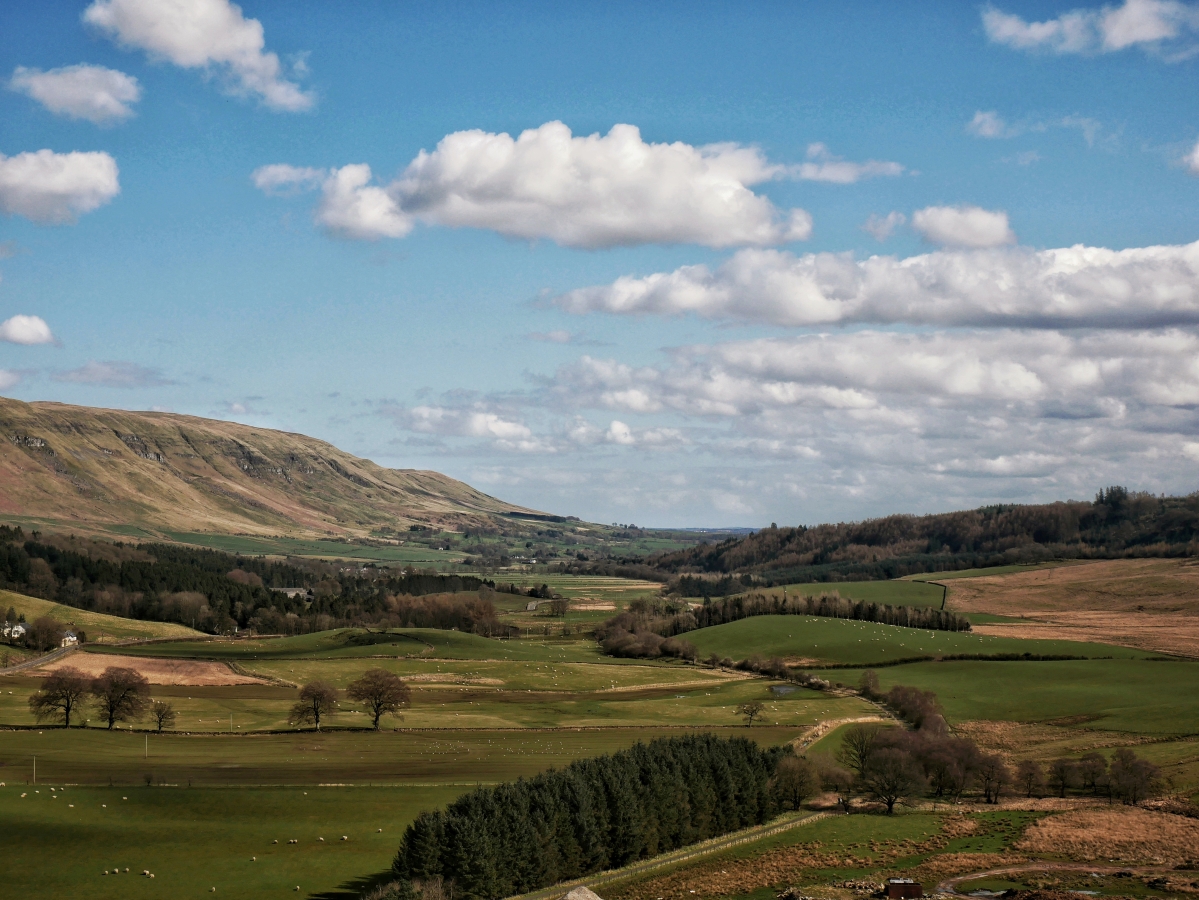
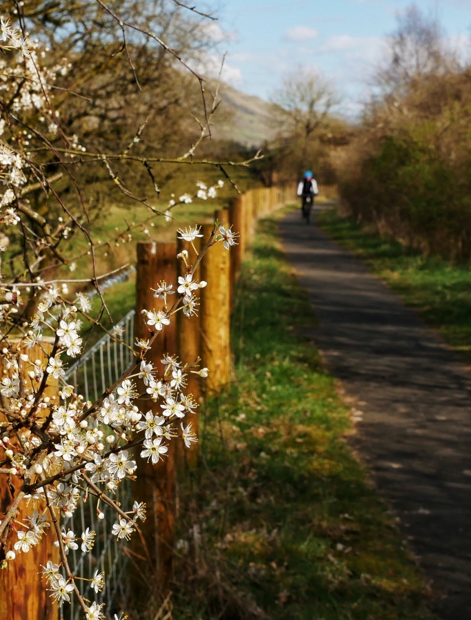
This leg is a 13-mile walk, one of the longer sections, but it has some lovely open stretches on good surfaces. Head off to Clachan of Campsie underneath Cort-ma Law hill and then onto Kirkintilloch’s rich, historic town centre for elevenses. Here you join the first canal stretch, enjoying flat walking on the old towpath before encountering your first Roman Fort at Bar Hill. Take some time out to recreate in your imagination the ancient settlement and rest weary legs after that steep pull up to the summit. Auchinstarry Marina hosts a great eco-pub, so why not stop off for food or a floating overnight stop?
Terrain
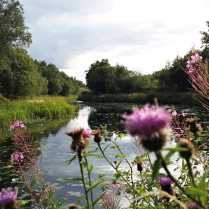
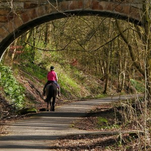
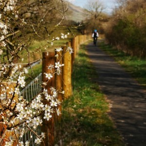
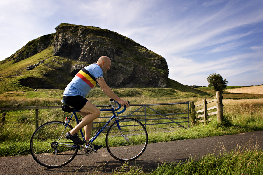
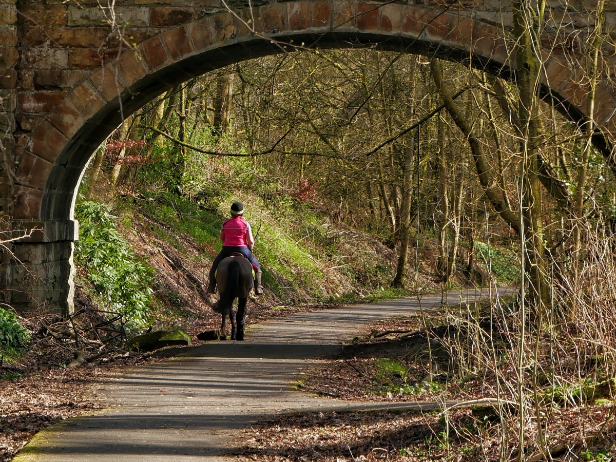
This section mainly follows a refurbished railway path and a level canal towpath. Although the route crosses through Kirkintilloch, it uses an off-road path At Twechar the route splits in two: walkers head up and over the Antonine Wall, taking in the Roman Fort at Bar Hill. Although it's a steep track, cyclists can use the walking braid but AVOID riding on the soft surfaces at the protected Bar Hill archaeological site. Otherwise cyclists can stay on the canal towpath all the way to the marina at Auchinstarry. The public toilets are situated at the Co-operative in Lennoxtown, Kirkintilloch Leisure Centre, Twechar Healthy Living Centre and Clachan of Campsie.
Getting There
By rail: the route can be accessed at the Kilsyth end from Croy train station, 1km from the trail.
By bus: Strathblane is covered by the X10 Glasgow-Stirling route. The 88C bus service links Kilsyth, Kirkintilloch and Lennoxtown.
By car: there is a small car park opposite Strathblane Parish Church and at eastern end of this section at Auchinstarry Marina.
Points of interest

Thomas Muir Heritage Trail
18km in length running from Clachan of Campsie by Lennoxtown to Huntershill, Bishopbriggs, the route offers a great walking or cycling experience.
Visit Website
The Auld Kirk Museum
Kirkintilloch houses one of Scotland's smallest 4-star visitor attractions – the Auld Kirk Museum.
Visit Website
Mugdock Country Park
Large country park with historic buildings, lochs, ponds, woodland and hills with restaurant, shop and business facilities.
Visit Website
Merkland Local Nature Reserve
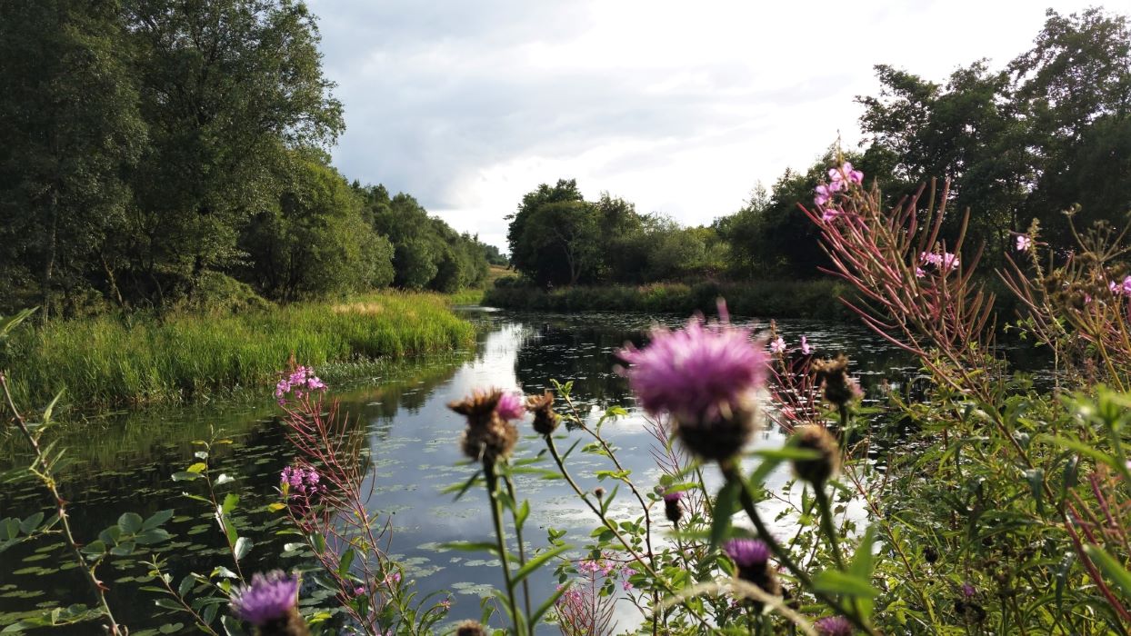
Merkland is a mosaic of woodland, wetland and grassland with open water and burns developed on a former colliery site.

Loch Ardinning Scottish Wildlife Trust Reserve
Loch Ardinning is a visitor-friendly wildlife haven with 142 hectares of varied habitat, including wetland, woodland, grassland and moorland. The loch itself supports a number of wintering and breeding wildfowl and is rich in invertebrate life.
Visit Website
Lenzie Moss Local Nature Reserve
Visit in summer to enjoy the range of butterflies and dragonflies.
Visit Website
Kirkintilloch Town Centre
Kirkintilloch is a historic and strategic town. Latterly it produced internationally-recognised red telephone boxes.
Visit Website
Dunglass Hill
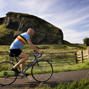
This volcanic plug sits right beside the path near Strathblane and although not as high as the nearby Campsie Fells, is still worth a quick ascent to catch the view of the surrounding area.
Dumbreck Local Nature Reserve
The Marsh is an open area of countryside, including ponds and large areas of grassland.
Visit Website
Cort-ma Law, Campsie Fells
A popular walk to a well-loved summit above Lennoxtown via the Crow Road car park.
Visit Website
Colzium Estate
Visitors can explore the many trails and splendid gardens, and also view the castle ruins on the estate.
Visit Website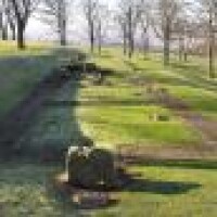
Bar Hill
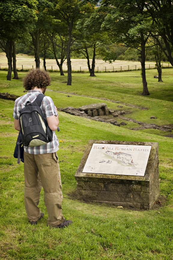
The highest fort on the Antonine Wall, containing the foundations of the headquarters building and bath-house.
Visit Website
Lenzie Railway Station
Visit WebsiteGallery
Route sections
Click on one of the sections below to view more details and plan your trip.


