Additional routes
These long distance routes are all exceptional and interlink with the John Muir Way. Try them out to discover yet more of Scotland's hidden countryside and its wildlife, and if long distance walking is your bag, explore some of Scotland's Great Trails (SGTs) too!
The SGT suite of trails highlights the finest experiences Scotland has to offer the long distance traveller. They are nationally promoted trails for people-powered journeys. Each is distinctively waymarked, largely off-road and has a range of visitor services. At least 25 miles in length, they are suitable for multi-day outings as well as day trips. Collectively the 29 different routes provide over 1,700 miles of well managed paths from the Borders to the Highlands, offering great opportunities to explore the best of Scotland's nature and landscapes and experience the country's amazing history and culture.
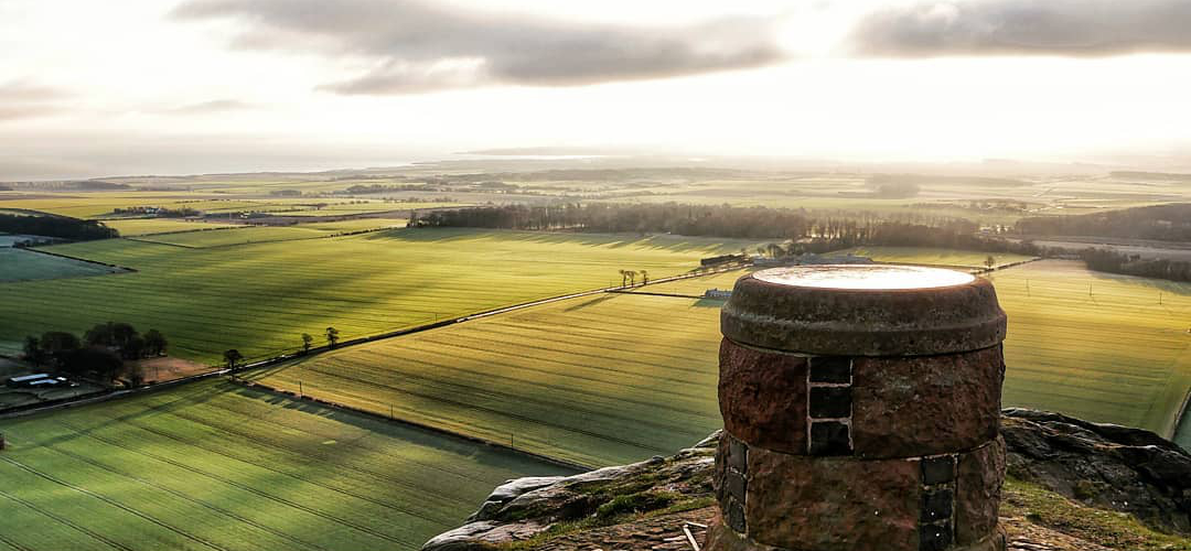
Fife Coastal Path
 |
The Fife Coastal Path runs from the Forth Estuary in the south to the Tay Estuary in the north, and stretches for 117 miles. The path is clearly waymarked and offers a range of walking experiences from the easy and level to the wild and demanding. Whether it's done in bite-sized chunks, or as a long distance route, there's definitely something for everyone. |
Forth and Clyde Canal
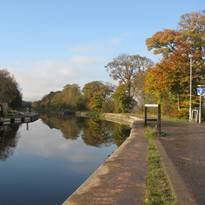 |
The Canal connects the Firth of Clyde and the Firth of Forth, crossing the Scottish Lowlands at their narrowest point, with the Union Canal providing the onward leg to Edinburgh. The building of a canal across Scotland was first discussed during the reign of Charles II. However, it was not until the mid-1700s that the building of the Forth and Clyde Canal, or 'The Great Canal' as it was referred to then, became an actual possibility, with funding being raised to carry out the work. The canal was built across the Central Belt of Scotland from east to west. |
River Avon Heritage Trail
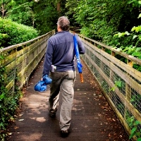 |
This 10-mile (16km) path starts in Avonbridge and follows the river downstream to Inveravon, crossing the river several times. The route takes you through gorge woodland, and one of the high points is rising to meet the Union Canal before crossing it using the aqueduct. |
Round the Forth (NCR76)
 |
National Route 76 of the National Cycle Network runs from Berwick-upon-Tweed to Edinburgh, Stirling and St Andrews with the route on both sides of the Forth. Route Details: Distance: 149 miles; Type: lots of traffic-free sections, with some on-road cycling; Things to see and do: North Sea Coast, Edinburgh, Dalmeny Estate, Hopetoun House, Stirling Castle and Dalgety Bay. |
The Musselburgh Trail
 |
Put on a sturdy pair of shoes, grab a waterproof jacket (just in case), and head for Musselburgh in East Lothian. And don’t forget to bring a wax crayon and some paper. Use the online map (or download a printable copy) to locate six illustrated plaques, hidden along the scenic 4km trail that follows the River Esk. When you find a plaque, make a rubbing with your crayon and paper. Use the online guide on the website to discover more about the wildlife and history of the area. And keep your eyes peeled for interesting plants, birds, animals and landmarks. Once you’ve discovered all six plaques, lay your rubbings side-by-side to reveal a secret 10-word phrase. Type the phrase at the website to unlock your special certificate. Good luck! |
Strathkelvin Railway Path
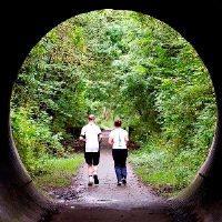 |
The Strathkelvin Railway Path is an important route that links with the West Highland Way. From Avenuehead Road, Moodiesburn the route heads north, cuts underneath the A80 and crosses Gartferry Road. The route terminates some thirteen miles to the north-west at Strathblane. |
The Three Lochs Way
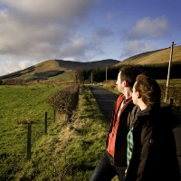 |
This route links Loch Lomond, Gare Loch and Loch Long in four stages, each of which starts or finishes within reach of a railway station, although the one at Garelochhead is 5km off the route. Starting at Balloch, the gateway to Loch Lomond National Park, the route crosses the moors to reach Helensburgh and Charles Rennie Mackintosh's Hill House. It then follows tracks above the nuclear weapons base at Faslane (within reach of Garelochhead) and through military training areas high above Loch Long. Arrochar, famous for its mountain skyline, is the next stop before a final stretch through the hills leads to Inveruglas on Loch Lomond. |
Thomas Muir Heritage Trail
|
This 18km walking and cycling trail runs through some of East Dunbartonshire's most attractive landscapes, towns and villages, many of which have a direct link to Thomas Muir. Muir of Huntershill (1765-1799) was a leading light in 'The Friends of the People', a political reform movement of the 1790s, at a time when very few of Scotland's citizens had the right to vote. He was tried and found guilty of sedition, and received the harsh sentence of banishment for 14 years to Botany bay, Australia. In silencing the man, they created a martyr and a hero to many. |
Union Canal
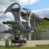 |
Follow the Union Canal from Edinburgh Quay over aqueducts, through tunnels and past tranquil scenery till you link with the Forth and Clyde Canal at the Falkirk Wheel. It's 32 miles along the Union Canal from Edinburgh Quay in the heart of the capital to the Falkirk Wheel, where an impressive piece of modern engineering lifts boats into the Forth and Clyde Canal. |
Water of Leith Walkway
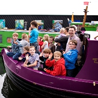 |
Explore Edinburgh’s hidden natural asset, the Water of Leith. Flowing for 24 miles from its source in the Pentland Hills, the river winds its way through the heart of the capital to its outflow into the Firth of Forth at Leith. Once Edinburgh’s industrial heartland, the valley was host to over 70 mills, harnessing the power of the water to produce paper, fabric and flour, with the river-mouth supporting a vibrant dock- and boat-building industry. Today the river is home to a wide diversity of plants and animals, from wild garlic and orchids to brown trout, herons, kingfishers and otters, and can be explored on foot or bike along the 13 miles of the Water of Leith Walkway. |
West Highland Way
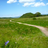 |
The West Highland Way links Milngavie, just outside Glasgow, to Fort William in the Highlands. It passes from the Lowlands, across the Highland Boundary Fault Zone and on into the Scottish Highlands. Much of the trail follows ancient and historic routes of communication and makes use of drove roads, military roads and disused railway tracks. For ease of reference the route is described in short sections. The usual convention is to describe the route from south to north, the thinking behind this being that the southern stages are easier and will prepare users for the more demanding northern stages. There is, however, no reason why the West Highland Way cannot be traversed from north to south, starting in Fort William and ending in Milngavie. |
West Loch Lomond Cycle Path
 |
Cycling from Tarbert to Balloch along quiet roads or off-road, you can explore several key villages along Loch Lomond's shores. Tarbert was where viking raiders dragged their boats across from Arrochar to plunder rural inland communities. Further on at Firkin point you've an opportunity to see some of the ancient oak woodland that once surrounded the loch, with its woodpeckers, redstarts and pied flycatchers. Luss has its own visitor centre that explores the historical significance of the village, and is well worth a visit before arriving in Balloch. The town provides all the mod cons and treats after a cycle, as well as access to Loch Lomond's famous shores. Enjoy it all before hopping back on the train. |
